LSU Library: Cartographic Information Center: Aerial Photographs
This article has not been updated recently and may contain dated material.
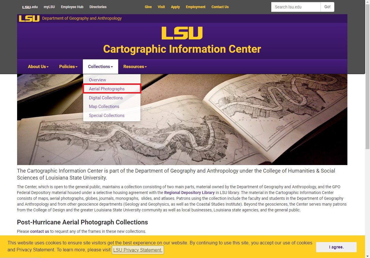
To Access the Aerial Collections from the Cartographic Information Center:
1. Navigate to the LSU Cartographic Information Center web page.
2. On the Collections tab, select Aerial Photographs from the upper side of the screen.
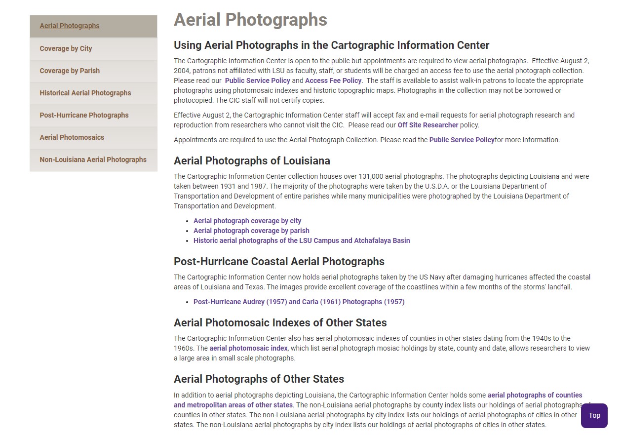
3. The Aerial Photographs page should open up. Select any of the links to open the collection.
Referenced from: LSU CIC
19096
7/12/2024 10:10:10 AM